- Emergency information and updates from the RDCK
- Prepare for an Emergency
- Emergency Info BC
- Be flood prepared
- Debris flow hazard awareness
Representing Diverse Communities in the Kootenays
Following a wildfire, the likelihood of occurrence of landslides, erosion, floods and snow avalanches within or downslope of the burned area can increase. The degree of hazard increase depends on various factors including the burn area, vegetation burn severity, soil burn severity, development of water-repellent soil, slope attributes, local hydrology, and local geomorphic conditions. The trigger for an event is often a significant high intensity rainfall. Elevated landslide and flooding hazards are both short-term (3 to 5 years) and long-term (until full forest regeneration). Short-term hazards relate to soil burn severity, development of water-repellent soil layers, increased overland flows, and sediment bulking. Longer-term hazards relate to increased Equivalent Clearcut Areas (ECAs) as a result of loss of overstory and possible effects of loss of tree root strength. (Springer Creek Fire Number 50372 - Post-Wildfire Analysis, 2007)
The following links lead to more specific information regarding post wildfire hazards in the Regional District of Central Kootenay:
One of the most devastating events in the RDCK occurred in Johnsons Landing on July 12, 2012 when a landslide tore through the community, taking the lives of four people and destroying four homes. A portion of the area remains under a Declaration of a State of Local Emergency.
The content on this page was last updated January 23 2024 at 5:36 AM
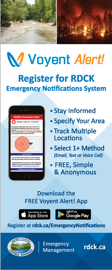
The RDCK has upgraded to a new notification system for emergency alerts and water advisories powered by Voyent Alert! Voyent Alert! offers a user-friendly experience with a smart phone app, and the ability to receive a detailed map of the affected area. The system will also support text messaging, emails or landline calls.
Emergency Program Coordinator
250-352-1539